• info@thetaenerytics.in (+91) 11 43734444
logo
  • Home
  • About Us
  • Operational Verticals
    • GIS, Survey and Inspection
    • Environment and Ecological
      Protection and Development
    • Agriculture Division
  • Contact Us
  1. Home
  2. Services

Environment and Ecological Protection and Development

Urban Development

Hydrology and Watershed Management

  • Assessment of site with respect to Hydrological conditions.
  • Planning of interventions for flood management.
  • Validation of effectiveness of intervention based on modelling from HNI.
  • Combating Erosion.
  • Comprehensive waterflow and hydrology audit including delineation of pristine and other zones and prevention of low land flooding and soil erosion.
  • Identification of Critical Catchment Areas.
  • Identifying Areas for Creation of Artificial Reservoirs
  • Identifying Linkages of Water Resources
  • Identifying Critical Areas in need of Groundwater Recharge
  • Identifying important Areas for Rainwater Harvesting

Disaster Management Prediction and Estimation of Flooding zones

  • Preventive measures can be planned by using our AI and ML software for estimating the damage that can be caused by various scenarios of flooding by identification of vulnerable flooding zones.
  • Rapid damage assessment by chain of networked drones.
  • Identification and continuous monitoring of dykes, flooded and threatened area over a large scale of area.
  • We can provide complete planning inputs required for rescue operations and relief distribution.
Urban Development
Mining

Mining

  • Mapping deposit sites.
  • Surveying mines.
  • Exploring for minerals.
  • Monitoring stockpile volumes.
  • Tracking equipment.
  • Time-lapse photography.

Forest Management

End to End Solution for Forest Management

  • Survey and mapping of forest
  • Tree Census
  • Flora and Fauna resource identification and cataloguing
  • Forest Fire detection, survey of fire line and further prevention
  • Wildlife Estimation through Camera traps, Pugmark technique, Line transect, etc.
  • Encroachment detection
  • Forest Surveillance System and Wildlife Protection
  • Survey and Mapping of Plantation sites
  • Detection of Infiltration and Conflict hotspots
  • Mitigation of Man Animal Conflict
  • Identification of regular animal paths and water holes
  • Water Conservation, Erosion Prevention and rainwater harvesting
  • Replenishment of ponds
  • Watershed development
  • Mapping Invasive Plant species in wildlife sanctuary area Training on wildlife rescues, wildlife management, line transect survey, etc.
Urban Development

Accurate and reliable forestry data can be obtained by means of continuous monitoring of forests using advanced satellite remote sensing and GIS technologies, which provides a major opportunity for the development of smart forestry. However, with the improvement of the precision and acquisition speed of data, the traditional data analysis cannot meet the performance requirements of current ground-based forestry applications. The concept of smart forestry has not been clearly defined so far. It is based on digital forestry, using cloud computing, Internet of Things, mobile Internet, big data and other new generation information technology. Smart forestry can make forest management digital, perceptual, interconnected, and intelligent. The forestry data is the basis for the operation of the intelligent forestry system, which can assist forestry decision-making through the analysis and mining of forestry data. Therefore, big data technology is the basis for the development of smart forestry. Forestry big data has brought a new solution to the difficulties encountered in the course of forestry development, which refers to the application of big data technology to forestry data processing.

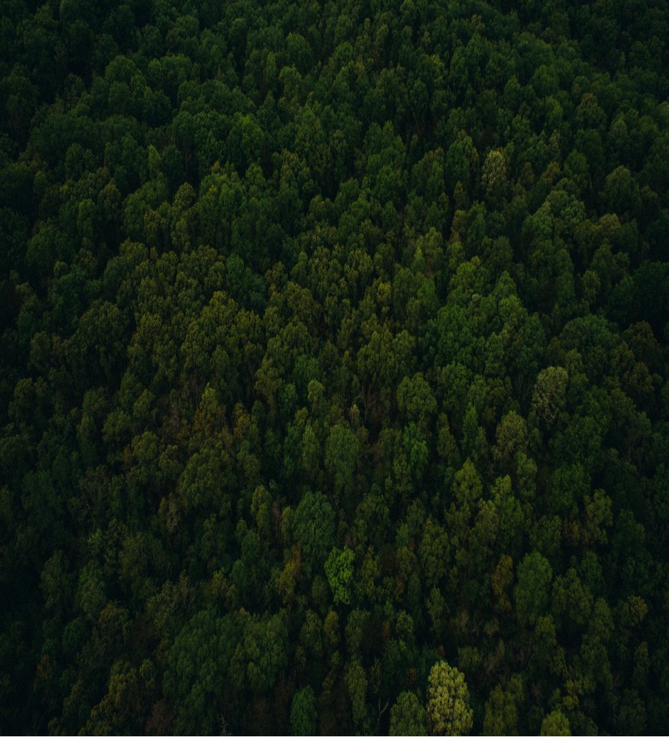
Unmanned aerial vehicles (UAVs) are new platforms that have been increasingly used in the last few years for forestry applications that benefit from the added value of flexibility, low cost, reliability, autonomy, and capability of timely provision of high-resolution data. The main adopted image-based technologies are RGB, multispectral and thermal infrared.  In comparison with other permanent ecosystems, forests are particularly affected by climatic changes due to the longevity of the trees and the primary objective is the conservation and protection of forests. Nevertheless, forestry and agriculture involve the cultivation of renewable raw materials the difference is that forestry is less tied to economic aspects and this reflects the delay in using new monitoring technologies.

© 2021 THETA ENERLYTICS